Trail maps · Leie valley to the Flemish Ardennes
Zulte & Ronse
635 km of unpaved trail, 13 drinking-water points and 8 train stations on one A0 sheet, 20 by 27 km from the Leie over the Scheldt to Ronse. Private paths are left out, so check the signs on the ground.
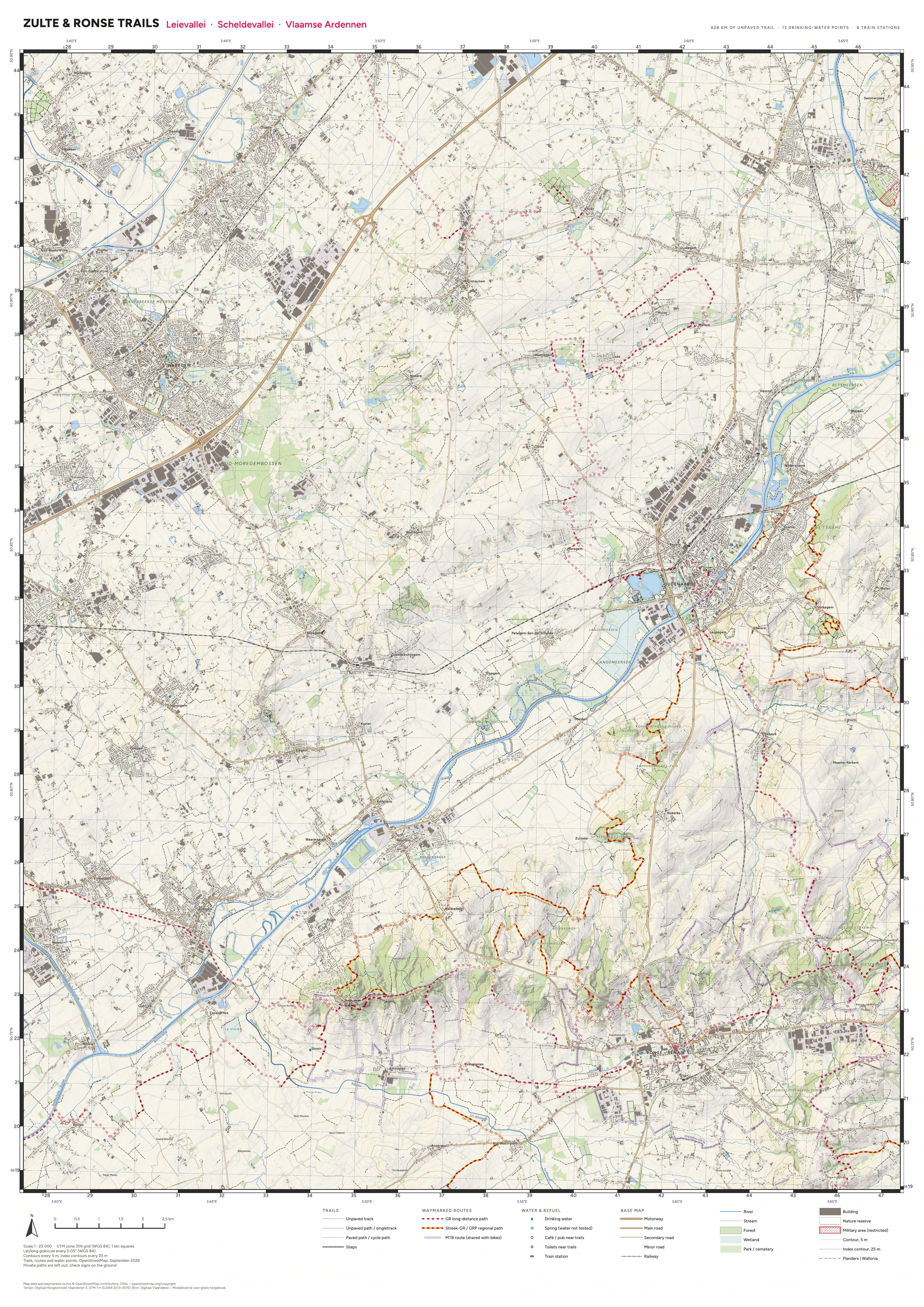
Tap or click a sheet to zoom in. The PDFs are georeferenced, so map apps that read GeoPDFs (Avenza Maps, for one) can show your position on them.
Credits
- Map data and waymarked routes © OpenStreetMap contributors, ODbL. openstreetmap.org/copyright
- Terrain: Digitaal Hoogtemodel Vlaanderen II, DTM 1 m (LiDAR 2013–2015). Bron: Digitaal Vlaanderen – Modellicentie voor gratis hergebruik.