Maps
Topographic course and trail maps I make in QGIS. Every map is a print-ready PDF, free to download and print, and the single-sheet maps are georeferenced.
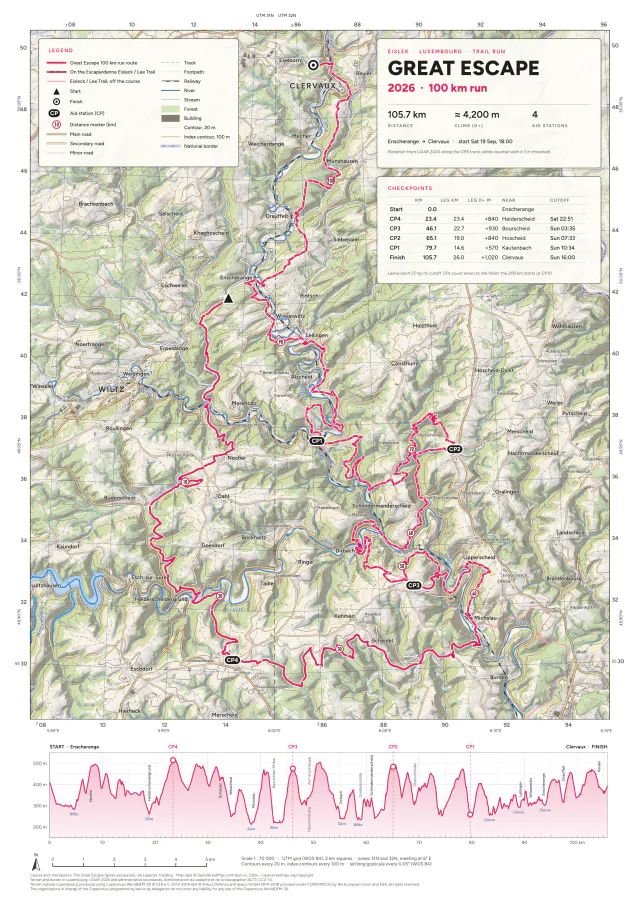
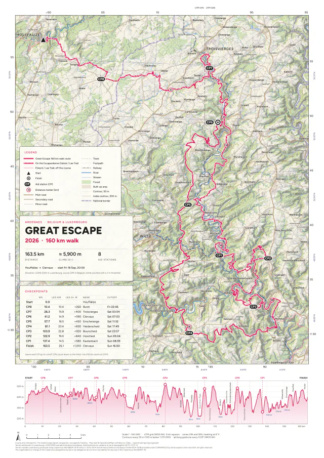
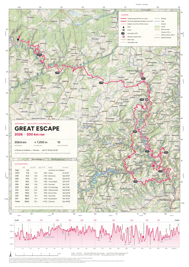
The Great Escape 2026
18–19 September 2026 · Ardennes & Éislek · The Great Escape
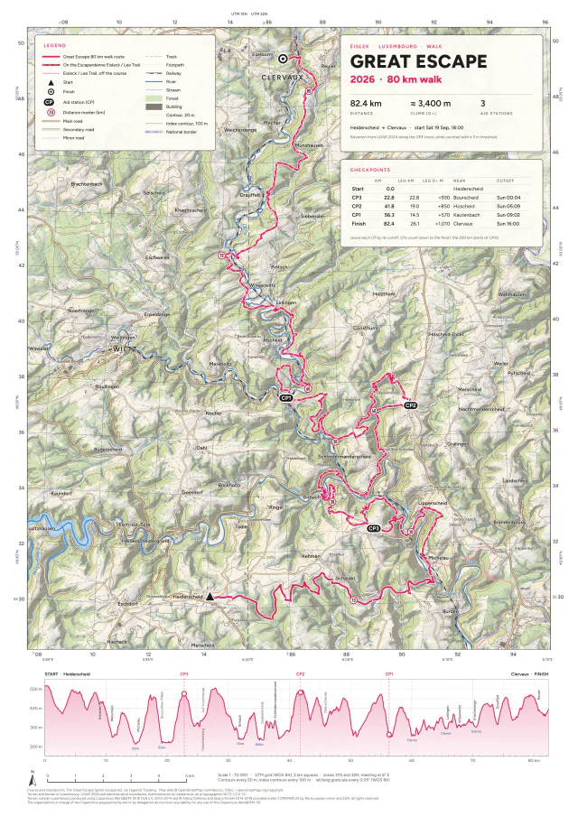
Course maps for the four distances of The Great Escape, two runs and two walks that all finish in Clervaux, Luxembourg. Each comes as an A3 and an A4 sheet.
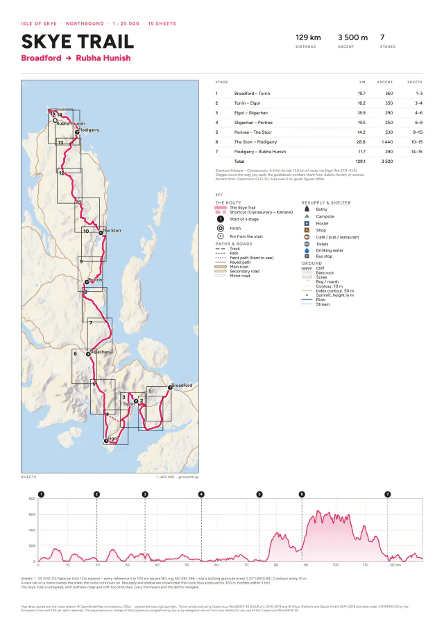
Skye Trail
September 2026 · Isle of Skye, Scotland
The Skye Trail at 1:25 000 on A4 pages for printing at home: a cover with the stages, a key and the whole route's profile, then 15 map sheets that follow the route.
Trail maps
September 2026 · Flanders, Belgium
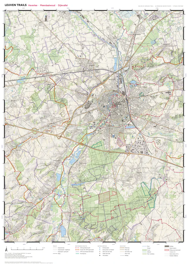
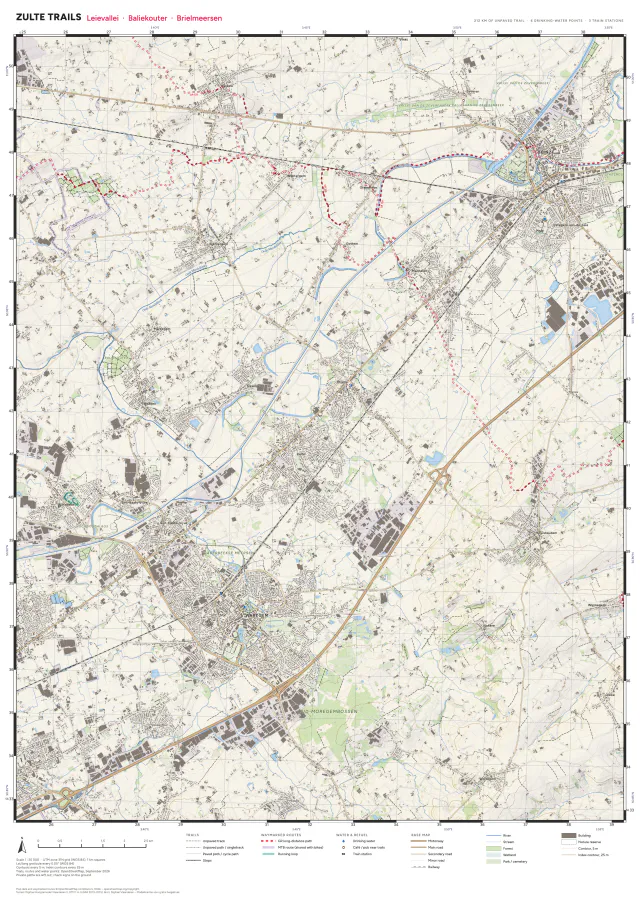
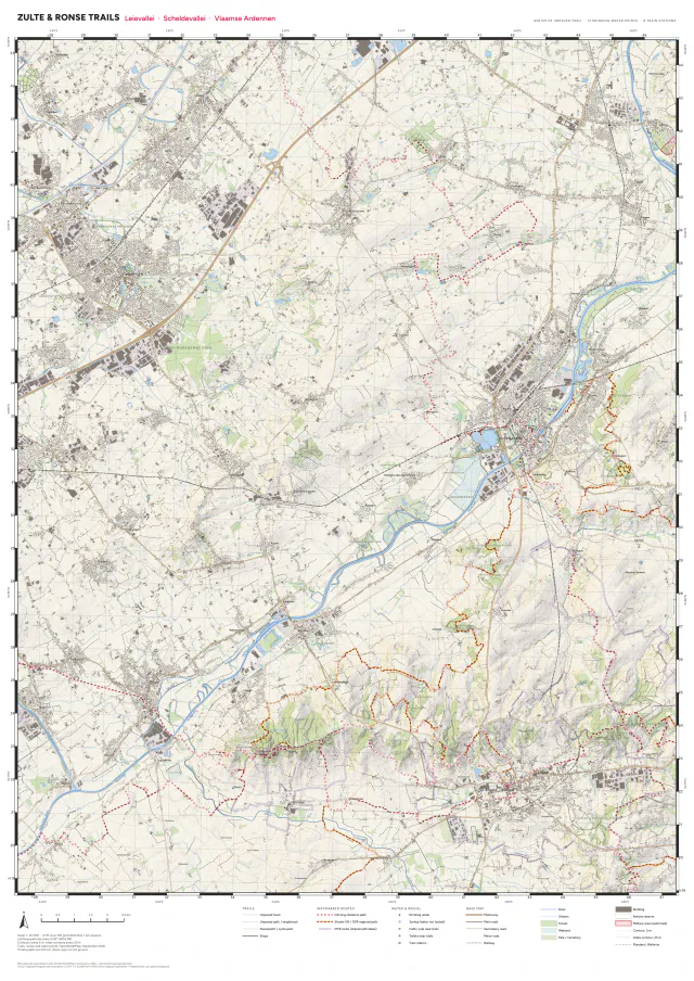
Trail-running maps of the areas I run in, each at 1:25 000: the unpaved trails, the waymarked GR, MTB and running routes, and where to find drinking water. Leuven and Zulte are A1 sheets; Zulte & Ronse is a wider A0.