Robin Manhaeve
Researcher · ultrarunner · tinkerer
By day I'm a postdoc at KU Leuven, working on neurosymbolic AI; that work lives on my research page. This site is for the rest: running long distances, and the tools, maps and small programs I make along the way.
Running
-
Route Planner
Hills, loops, routes and every street
Find a hill for repeats, a short loop around the block or a route of up to 49 km from your door, or one round that runs every street of a neighbourhood. It ranks options built from OpenStreetMap roads and real elevation, and exports them to GPX.
-
LiveBib
Follow a race live
Runners join a race with a six-character code or a QR scan, their phone shares its position, and supporters follow everyone on a map. An Android app is on the way.
-
Pace Planner
Tell your crew when you'll arrive
Upload a course GPX and a pace plan, and get fast, target and slow arrival times at every checkpoint, allowing for climbs, fatigue and darkness. Your crew gets a read-only link with checkpoint cards and a printable sheet.
-
Logbook
Every run since 2018, and the weeks ahead
My running log: every run from the watch, and the Strava years before it. It tells the story in records and milestones, follows fitness and fatigue, and plans the weeks toward the next race with Claude, the sessions going straight to the watch.
The link opens my story; the rest is private.
-
Relive
Runs replayed from the ground
My runs and races from Logbook, run again through my own eyes at the pace my watch recorded, over the land as it is: terrain from national lidar, every tree, wall and building, the sun and the stars at the hour. Watch from the trail, from behind or from above.
The link opens the Great Escape 100k; the rest open from Logbook.
Maps
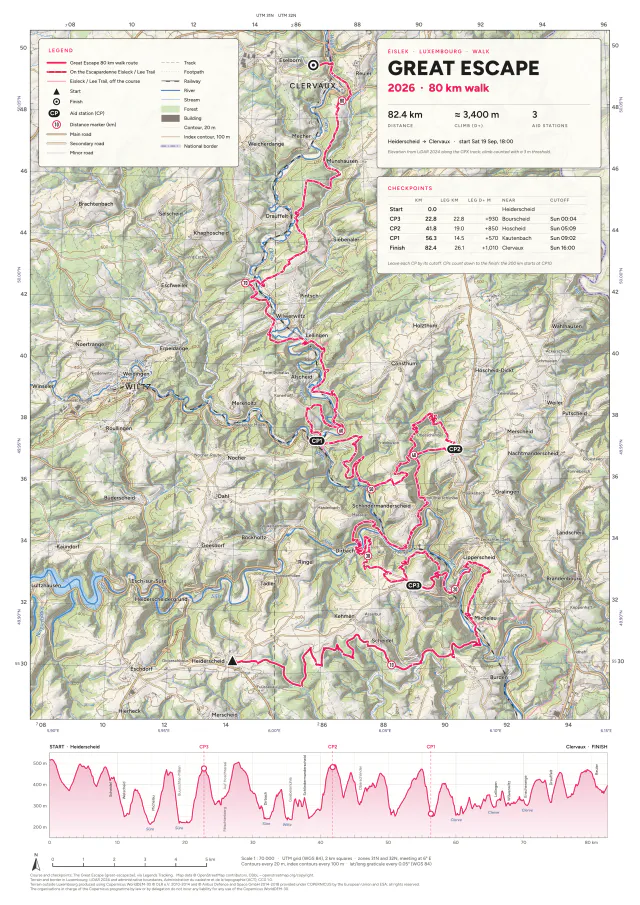
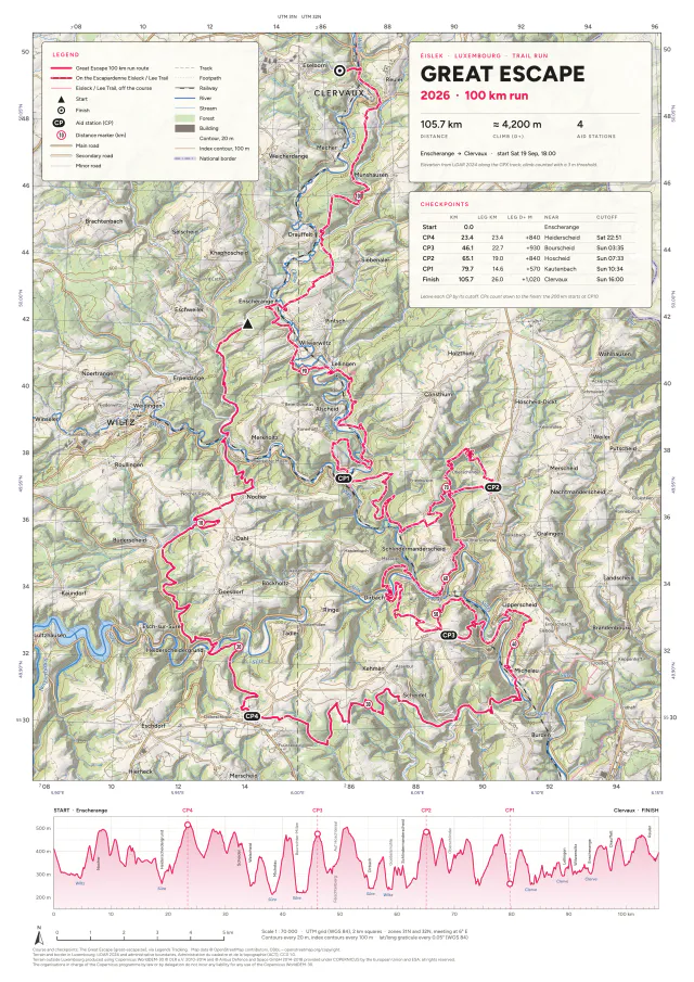
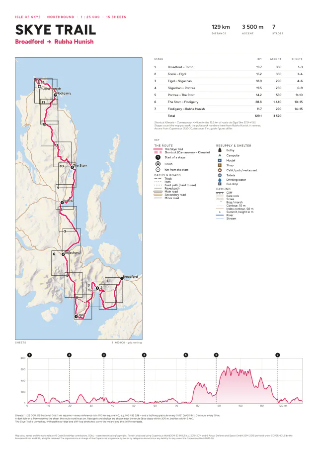
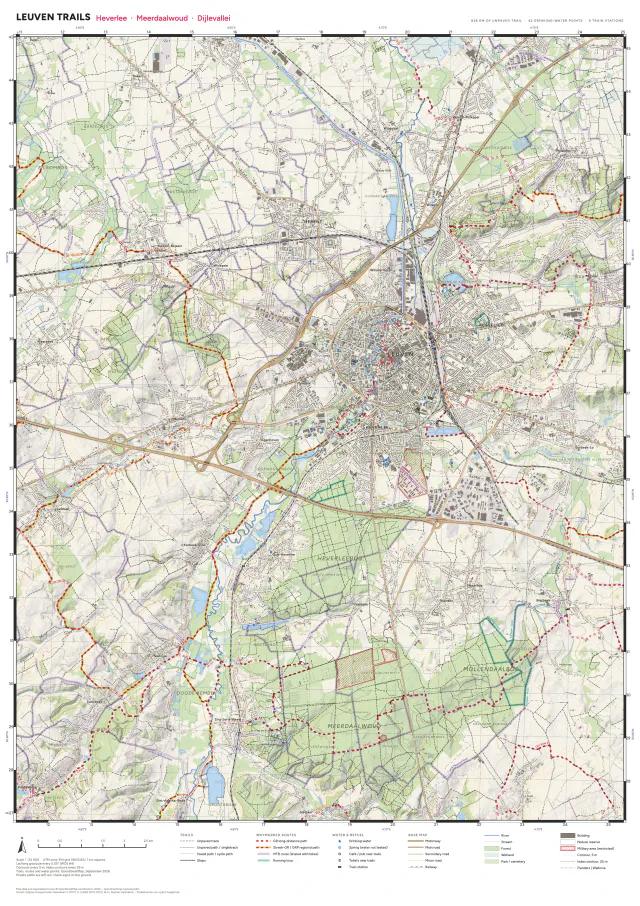
All maps →Topographic course and trail maps I make in QGIS, as print-ready PDFs.
Software
-
NaviSim In progress
Map and compass in real landscapes
Stand on Dartmoor, in the Our valley or in the fields round Leuven with a 1:25 000 map, a compass and a monocular, and nothing to tell you where you are. Drills in grid references, bearings, resection and ranging lead up to an exam, in a world built from LiDAR so the map and the land agree.
-
landkit
The land under Relive and NaviSim
One tile pyramid for western Europe, made from national lidar and OpenStreetMap: the ground to the metre, every tree the lidar found, paths, fields, walls and buildings, streamed and drawn in the browser. Look down on an area as a plan, or walk it at eye height.
-
groundup
A computer and a radio, built from the ground up
A browser game about building a whole computer, from switch-level MOSFETs to a machine that runs code, and a bench for the circuits of the HAREC amateur radio course: tuned circuits and filters, swept in frequency and run through time.
More on GitHub.